
Good morning, Utah! It’s another cold start to the day, with temperatures in the single digits and teens across northern Utah.
Currently, high pressure dominates the weather in the north, keeping things calm and chilly. Meanwhile, a cut-off low-pressure system lingers over southern Utah, bringing light rain and snow showers to the southern mountains and even some valley locations.
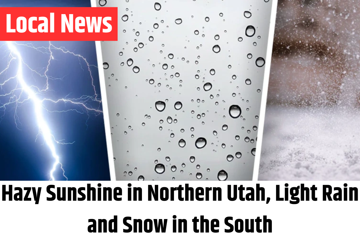
What to Expect for the Next 24 Hours

This weather pattern will persist over the next day, with southern Utah—particularly areas like St. George, Cedar City, and Lake Powell—seeing the best chance of precipitation. Scattered showers will continue through the afternoon, mostly in the southern parts of the state.
Wednesday’s Outlook
Expect more of the same on Wednesday. Southern Utah will see some light, scattered showers, while northern Utah will experience hazy sunshine. As the day progresses, precipitation should start to taper off from west to east, with drier conditions taking over by Wednesday evening.
A thick inversion layer will develop over northern Utah, which means deteriorating air quality. Code Orange air quality is expected, which is considered unhealthy for sensitive groups. Unfortunately, this air quality issue may persist through the end of the week.

Also Read – Teen Rescued from Ogden Pond After Falling Through Ice, Spends 2 Hours in Water
Looking Toward the Weekend
There is hope for some relief by the weekend. A storm system moving in from the northwest could help break up the stagnant air and bring some rain and snow showers. Right now, the mountains have the best chance of snow, while the valleys may see more rain.
As for temperatures, warmer weather is on the way! By the weekend, highs will climb into the 50s and 60s in the north, and temperatures could reach nearly 70° in the south by Monday.
Key Points:
- Cold start to the day with lows in the 0s and 10s across the north
- High pressure keeping things calm in northern Utah, with light precipitation in the south
- Code Orange air quality expected in northern Utah due to inversion haze
- Scattered rain and snow showers continuing in the south
- Warming trend starts Wednesday, with highs climbing into the 50s and 60s over the weekend

Stay tuned for updates, and stay warm out there!