
A fast-moving winter storm is set to deliver fresh snowfall across Colorado, Utah, and California’s Sierra this weekend, providing a boost to ski resorts in the region. The system will bring moderate accumulations before moving out, followed by another round of snow early next week for parts of the Southwest and Northern Rockies.
Snowfall Outlook for Colorado
Colorado’s ski resorts will see multiple waves of snow starting Friday night and lasting through the weekend. Cold air settling in will enhance snowfall along and north of Interstate 70, with ski areas in the central and northern mountains expected to receive moderate to heavy accumulations.

Forecasted Snow Totals for Colorado Ski Resorts:
Steamboat: 5–10” (Friday night–Sunday night)
Winter Park: 4–9” (Friday night–Saturday night)
Loveland/Arapahoe Basin: 4–7” (Friday night–Saturday night)
Vail/Beaver Creek: 3–6” (Friday night–Saturday night)
Copper Mountain/Breckenridge: 2–5” (Friday night–Saturday night)
Monarch: 1–4” (Wednesday–Thursday)
Snowmass: 0–2” (Saturday night)
Telluride: 0–1” (Tuesday)
Crested Butte: 0–1” (Saturday night)
Wolf Creek: 0–1” (Tuesday) + 2–5” (Wednesday–Thursday)
Snowfall will linger into Saturday, particularly over the higher elevations. Although the system weakens by Sunday, scattered snow showers may persist before dry conditions return early next week. Another system midweek could bring additional light snow, but confidence in its track remains uncertain.
Also Read – Silver Alert: 60-Year-Old Woman Last Seen Leaving Salt Lake City Home
Long-range models suggest a more active weather pattern returning in early February, potentially delivering another round of fresh snowfall to the region.

Utah Ski Resorts Prepare for Weekend Snow
A strong winter system is set to impact Utah’s Wasatch Mountains on Friday and Saturday, delivering solid snowfall totals to some of the state’s most popular ski resorts. With cold air filtering in, snow levels will remain low, allowing for widespread accumulations.
Forecasted Snow Totals for Utah Ski Resorts:
Alta/Snowbird: 5–10” (Friday–Saturday night)
Solitude/Brighton: 5–10” (Friday night–Saturday night)
Park City/Deer Valley: 4–8” (Friday night–Saturday night)
Eagle Point: 0–2” (Saturday) + 0–1” (Monday night)
Snow will be heaviest in the Big and Little Cottonwood Canyons, where resorts like Alta and Brighton could see the most significant accumulations. Winds may be gusty at times, briefly impacting upper-mountain lifts.
By Sunday, lingering snow showers will taper off as the storm system moves southward. While early next week looks mostly dry, there is a chance of a weak system bringing additional light snow to the region.

Looking ahead to early February, forecasters anticipate generally near to slightly below-average temperatures, with periodic snow events favoring higher elevations.
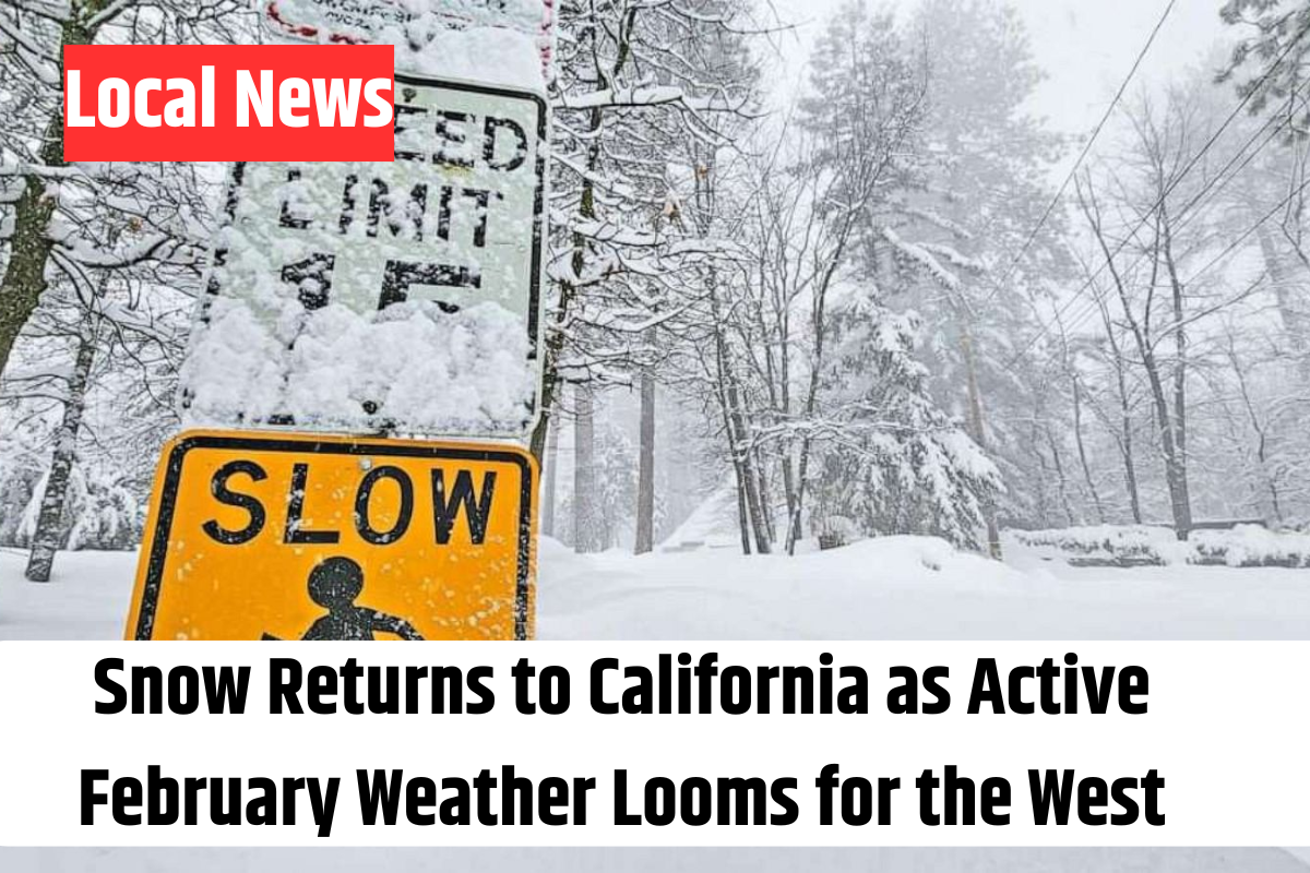
Snowstorm to Impact California’s Sierra Nevada
The Sierra Nevada will also see snowfall this weekend, with a system arriving Saturday and continuing through Sunday. Resorts in the central and southern Sierra will benefit the most, particularly Mammoth, Kirkwood, and Heavenly.
Also Read – Explore Utah’s Huge Flea Market: A Treasure Hunter’s Paradise
Forecasted Snow Totals for California Ski Resorts:
Heavenly: 5–10” (Saturday–Sunday night)
Mammoth: 5–9” (Saturday–Sunday night)
Mt. Rose: 4–8” (Saturday–Sunday night)
Kirkwood: 2–6” total (Saturday–Sunday)
Northstar: 0–2” (Saturday–Sunday)
Palisades Tahoe: 0–2” (Saturday–Sunday)
Sugar Bowl: 0–1” (Saturday)
Northeasterly winds could lead to blowing snow at times, affecting visibility at ridgelines and summits. By Monday, snowfall tapers off, giving way to drier conditions midweek. However, long-range models indicate that another round of moisture could return late next week or into early February.
Northern Rockies Expect Modest Snowfall
The Northern Rockies, including western Montana, Idaho, and northwest Wyoming, will see light snowfall on Friday. The Tetons and southwestern Montana peaks could receive a few inches, though overall accumulations will be limited.
Forecasted Snow Totals for Northern Rockies Ski Resorts:
Grand Targhee: 1–4” (Friday)
Jackson Hole: 1–3” (Friday)
Big Sky: 1–3” (Friday)
Bridger Bowl: 1–2” (Friday)
Schweitzer: 0–1” (Friday, Jan. 31)
A weak disturbance this weekend may bring isolated snow showers to higher elevations, but most valleys will remain dry. By late next week, a stronger Pacific system could push inland, potentially bringing more significant snow to the region.
Looking Ahead: February Could Bring More Snow
Beyond this weekend’s storm, early February could bring additional snowfall to many western mountain regions. Forecast models suggest an active weather pattern developing, which may result in fresh rounds of snow across the Rockies and Sierra. Skiers and snowboarders should stay tuned for updates as confidence in these long-range projections improves.