
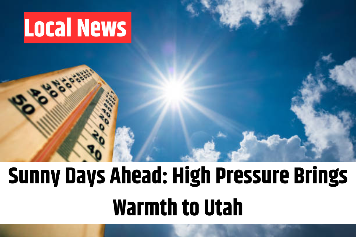
Happy Saturday, Utah! The weekend kicks off with high pressure dominating the forecast, bringing calm conditions, mostly sunny skies, and a gradual warming trend across the state.
Saturday’s temperatures will rise slightly compared to Friday. Expect low 40s in northern valleys and mid-50s in southern valleys, with mountain valleys reaching the upper 30s. Warmer locations in the south could climb into the low to mid-60s.
High pressure will continue to block major storm systems, keeping most of the active weather to our north. However, northern Utah may see a few light showers between Sunday night and Tuesday morning as a weak system brushes past the region. Rainfall, if any, will be minimal.
Warming Trend Continues
By Sunday, temperatures will increase further, reaching the upper 40s and low 50s in the north and mid-50s to low 60s in the south, with some locations hitting the upper 60s. As we move into the workweek, temperatures will sit 8 to 15 degrees above average, meaning mid-50s in northern Utah, mid-60s in the south, and mid-70s in St. George.
Though clouds will pass through northern Utah from Sunday to Tuesday, they won’t completely block out the sun. The warm and dry pattern looks to stick around for the next week, giving us an early taste of spring.
Stay tuned for more updates on 4Warn Weather, both on-air and online!