
Happy Monday, Utah! A storm system moving in from the northwest is bringing moisture across the northern U.S., leading to scattered rain and snow showers in northern Utah this evening and into the night.
Higher elevations will continue to experience winter driving conditions, with snowfall levels expected to drop further overnight into Tuesday, potentially reaching valley floors.
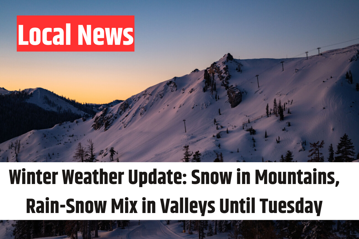
Another weather disturbance will arrive late Monday into Tuesday, bringing additional snow showers, particularly in the mountains. By Tuesday afternoon, drier air will start moving in, gradually clearing precipitation from north to south. The heaviest snowfall accumulations are expected in the Cottonwoods and Bear River Range, where totals could reach 10-20 inches. Other northern mountain areas may see between 7-14 inches, while the Wasatch Front could get anything from a light dusting to an inch early Tuesday morning.
Following this system, there will be a brief period of calmer weather before another storm arrives Wednesday afternoon. This system is likely to bring a rain/snow mix to the valleys before transitioning to snow Wednesday night into Thursday morning. Snow is expected to accumulate in the mountains, with some possible accumulation in the valleys depending on temperature and precipitation levels.
As the weekend approaches, high pressure is expected to build in, bringing drier and warmer conditions.
Stay tuned for the latest updates in our 4Warn Weather forecast, available both on-air and online at Good4Utah!