
SALT LAKE CITY — After a wild start to the weekend with a wet atmospheric river event, Utah is enjoying a brief moment of calm this Sunday morning. However, things are about to take another active turn as we head into the afternoon and the upcoming week.
From today through Tuesday, snow levels will fluctuate, making for a bit of an unpredictable weather pattern. Early in the day, snow will be low enough to impact some valley areas, but by Sunday evening, those snow levels will rise before dropping again on Monday. While snowfall in the valley areas is expected to be light, there is still a chance for a little accumulation.
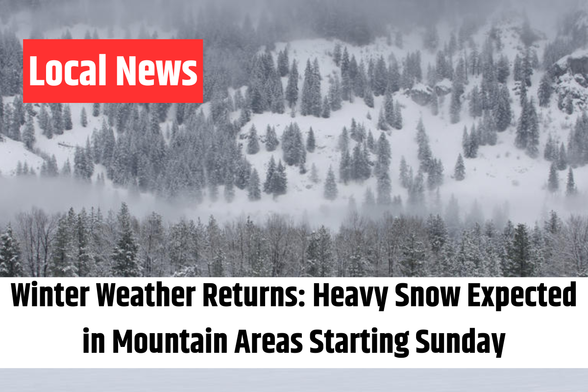
The mountains, however, are in for a more significant snowstorm. Northern mountain regions could receive anywhere from 6 to 12 inches, with some areas in the Bear River Range and Upper Cottonwoods expecting 10 to 20 inches of snow. To keep everyone informed, winter weather advisories have been issued for the Wasatch Mountains and Western Uinta Mountains from noon today until noon on Tuesday.
Looking ahead to midweek, another weather system will bring more mountain snow and light valley snowfall from Wednesday into Thursday. There’s some uncertainty regarding the strength of this storm, which means snowfall totals are still unclear. It could be a more significant system, especially for the mountains. We’ll keep you updated on any changes.
Once the midweek storm passes, we’re expecting a brief break in the stormy weather as a ridge of high pressure takes hold. Stay tuned for the latest updates on your 4Warn Weather forecast, both on-air and online. Stay safe and prepared, Utah!