
SALT LAKE CITY – Happy Valentine’s Day, Utah! The Beehive State is experiencing a chilly and wet Friday as winter weather continues to impact the region.
Winter Storm Warnings & Snowfall Updates
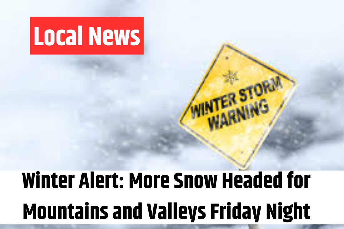
Utah’s mountain valleys and higher elevations are set to receive more heavy, wet snow Friday night, with Winter Storm Warnings still in place for all mountain regions and the Wasatch Back. The Southern Mountains saw their warning expire earlier at 11 a.m., following significant snowfall overnight.
Valley Rain & Cold Front Incoming
For those in the valleys, expect on-and-off rainfall throughout Valentine’s Day evening before a cold front arrives late tonight and into the early hours of Saturday. This will bring in colder temperatures, causing snow levels to drop again.
With a northwest flow developing, snow showers will likely return, particularly in areas like the Cottonwood Canyons, where additional snowfall is expected. Some valley locations may also see light snow accumulation as temperatures dip.
Looking Ahead to the Weekend & President’s Day
Precipitation is expected to taper off by Saturday night into Sunday, with a brief break of drier weather. However, don’t put away your umbrellas just yet—another storm system could arrive by late Sunday into Monday, bringing more rain and snow to Northern and Central Utah just in time for President’s Day.
Stay tuned for updates! We’ll keep you informed with the latest weather forecasts both on-air and online.