
Happy Sunday, Utah! It’s been a wet and snowy weekend for many across the state, especially in the valleys and mountains.
Today, expect the wet conditions to continue, with a focus on mountain snowfall and some rain in the valleys. An atmospheric river has been bringing moisture into northern Utah, resulting in steady snow for areas north of Ogden and mixed rain and snow further south, extending to Utah County. As the day progresses, the moisture will shift northward into Idaho, and snow activity south of Ogden will gradually decrease.

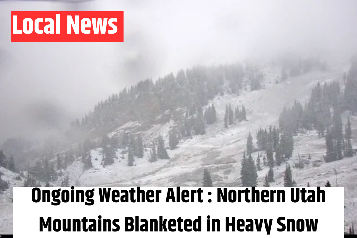
By the end of the storm, areas like Tony Grove and Logan Summit could see between 1 and 3 feet of snow, with some locations possibly receiving over 4 feet. The Cottonwoods and Provo Canyon should get about 1 to 2 feet, with a few spots potentially reaching 3 feet. Snow levels are expected to hover around 7,500 to 8,000 feet, so mountain valleys will likely experience rain rather than snow.
Looking ahead to the beginning of the week, Monday and Tuesday are shaping up to feel more like spring than winter. Expect warmer and windier conditions, with temperatures soaring into the 60s along the Wasatch Front and even hitting the 70s in parts of southern Utah. A weak system is expected to bring cooler weather on Wednesday, along with some mountain snow and a potential rain-snow mix in the valleys. Towards the end of the week, a stronger storm system could push in, bringing colder air and heavy snow to the mountains, but more details will be available as the storm approaches.
We’ll keep you updated with the latest forecast in our 4Warn Weather reports, both on-air and online. Stay tuned to Good4Utah!.